New Zealand has the nickname 'The Shaky Isles' because it is so volcanically active, and on our limited travels so far it hasn't been difficult to see why. Here are notes on just two of the places we've visited which bear testament to New Zealand's violent past.

Lake Taupo rock carvings (image from Wikipedia)
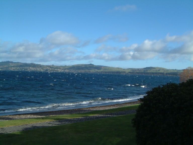
Lake Taupo
Lake Taupo is enormous. When you look at the map of North Island, it's the huge 'hole' in the middle. It was created about twenty-six and a half thousand years ago, by volcanic eruption, and has been further enlarged by another 27 eruptions since then, the most recent of which occured in 181 AD. This eruption was one of the largest in recorded history, and contemporary accounts kept in Rome and China reported the sky turning red. Apparently, the volcano isn't extinct, it's just 'dormant'. Which means it could wake up at any minute and take another large chunk of North Island with it. Nice.
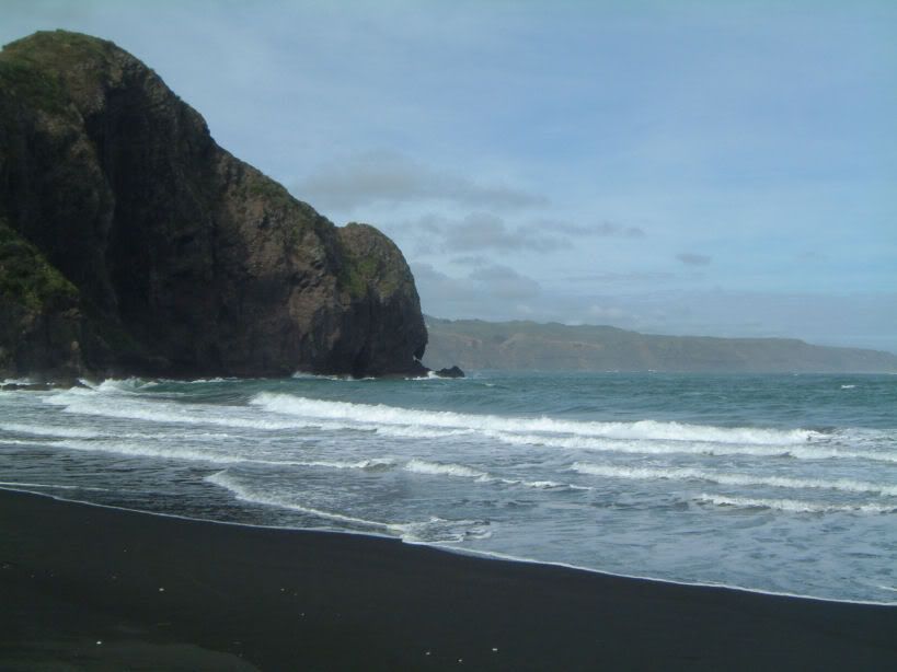
Whatipu Beach, West Auckland
Like almost all the photos we've taken so far, this one really doesn't do its subject justice.
Well, today's post started as a brief experiment to see whether I could get the hang of posting photos and links, and it's grown into a bit of a monster. I think I'd better stop skiving off and get back to work!
No comments:
Post a Comment